
Production update
How I decided on the area covered by this blog and what to call it

There is a significant update to this story. I changed the blog’s target area. I have left this original story live so as to reflect my thinking.
For months, I’ve been wrestling with a question at the heart of this blog: what do I call the geographical area I’m focussed on? ‘Barnes’ was too small. ‘Barnes and its immediate surroundings’ was too clunky. ‘Barnes Plus’ felt vague. None of them worked.
To get this right, I needed to define the boundaries of the area. It had to be large enough to encompass key issues but small enough to remain manageable.
London, the world’s greatest city, stretches across 32 boroughs and the City of London. That was far too broad a scope. But keeping the focus solely on Barnes, where I live, makes answering my question almost too easy.
Reduce the number of drivers in this Barnes bubble and keep Hammersmith Bridge for pedestrians and cyclists would satisfy most some locals but only by ignoring the pressure points that solution would create just beyond its edge.
Wanted: major road and several bridges
I realised the target area for this blog needed to include two features.
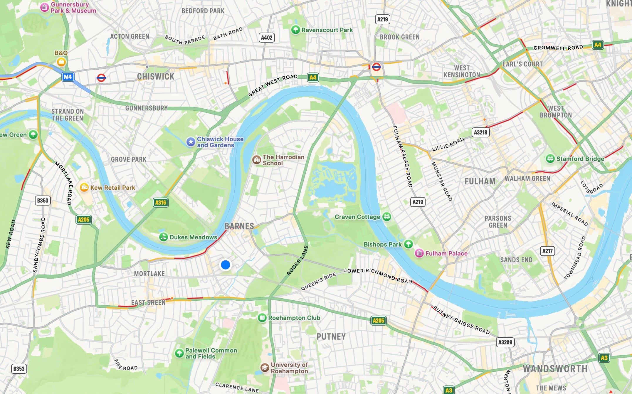
It must have an arterial road. These enable the fleet of essential vehicles - blue light services, commercial, shared and some private - to efficiently navigate the Capital. Residents and workers in the Barnes bubble need them.
Secondly, my target area needed to include one or more Thames road crossings. If Hammersmith Bridge is closed to vehicles, then some of the redirected traffic needs to cross the river somewhere. I think the ‘Boat Race bridges’ are useful here. The race course is bounded by Putney, Hammersmith and Chiswick bridges. The first and last are the most likely to be impacted by Hammersmith remaining a bridge for people, not drivers. I want to include them in my target area.
Having settled on the likely size of the target area, I looked to see if there was any existing designation to describe it. I would much rather use a familiar term than invent a new one. But nothing fit.
I tried post codes. SW13 and SW14 were the obvious ones. They don’t work.

I need some of SW15 and to lose most of SW14.
The borough council wards were a better fit.
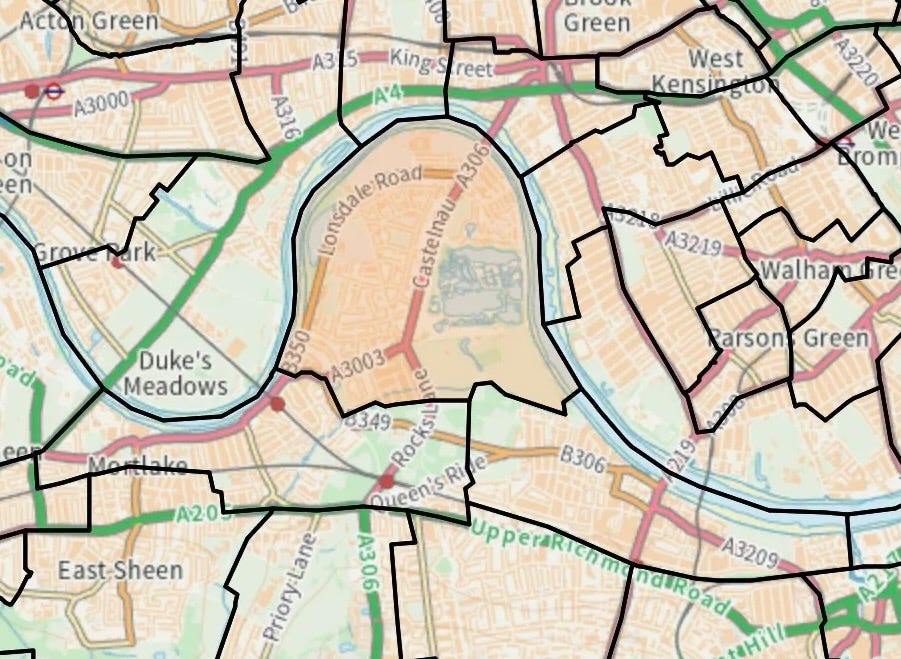
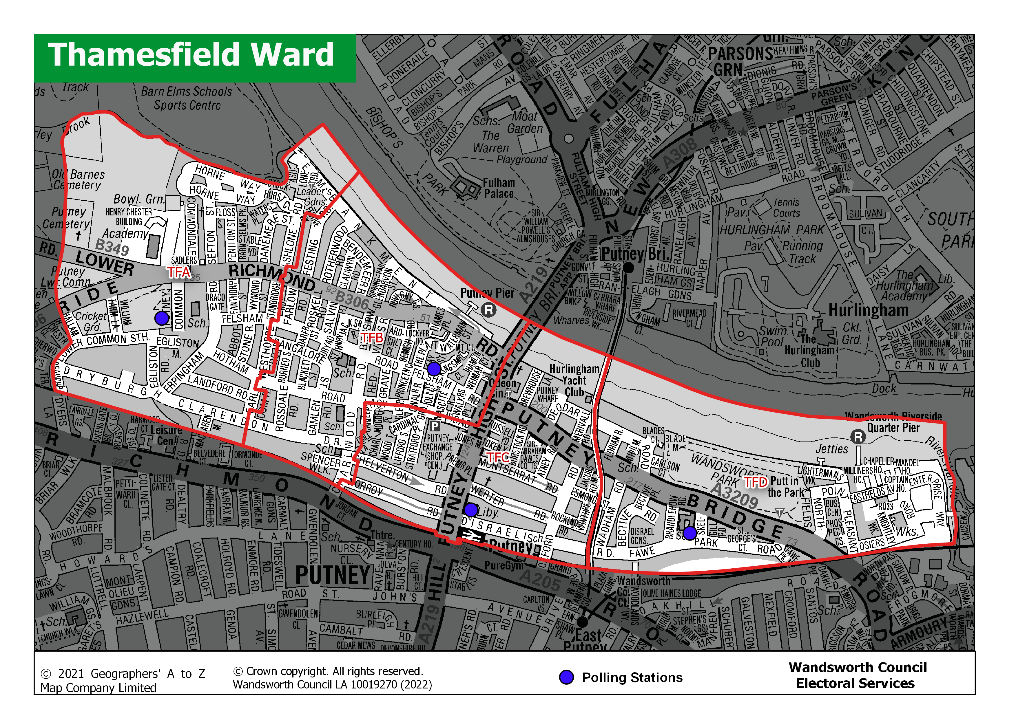
Two wards were an excellent fit - Barnes ward and Mortlake and Barnes Common ward are part of Richmond council. This blog is interested in most of the Thamesfield ward in Wandsworth council. The eastern end of this ward stretches beyond Putney Bridge and is outside of my preferred boundary.
I tried other potential sources: none worked. Eventually I accepted I need to create my own definition.
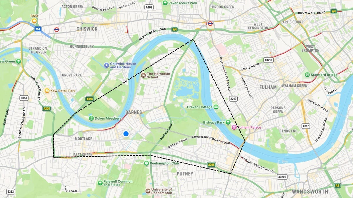
The area I’m writing about is roughly bounded by the north bank of the River Thames and includes the three Boat Race bridges and the South Circular.
What to call this area?
All of the earlier labels still failed. This is not Barnes. It is not Barnes plus given it includes parts of Putney, Mortlake and East Sheen. Then I noticed in my notes I had adopted a short-hand name.
Barnes Triangle.
I know. It is not Barnes and it is not a triangle. But the phrase has stuck for me. The name now lives rent-free inside my head. I even have a keyboard short cut for it on my Mac.
When I talk about living in the world’s greatest city, I mean here in the Barnes Triangle. When I examine how the Mayor’s Transport Policy plays out, I’m looking at its effects in this area. I will talk about what is happening across London, and when relevant beyond but this blog is anchored in the Barnes Triangle.