
Late French President makes a surprise appearance
Looking for a map to reflect the focus of this blog - story 36

I am always struck by the dissonance in this pairing.
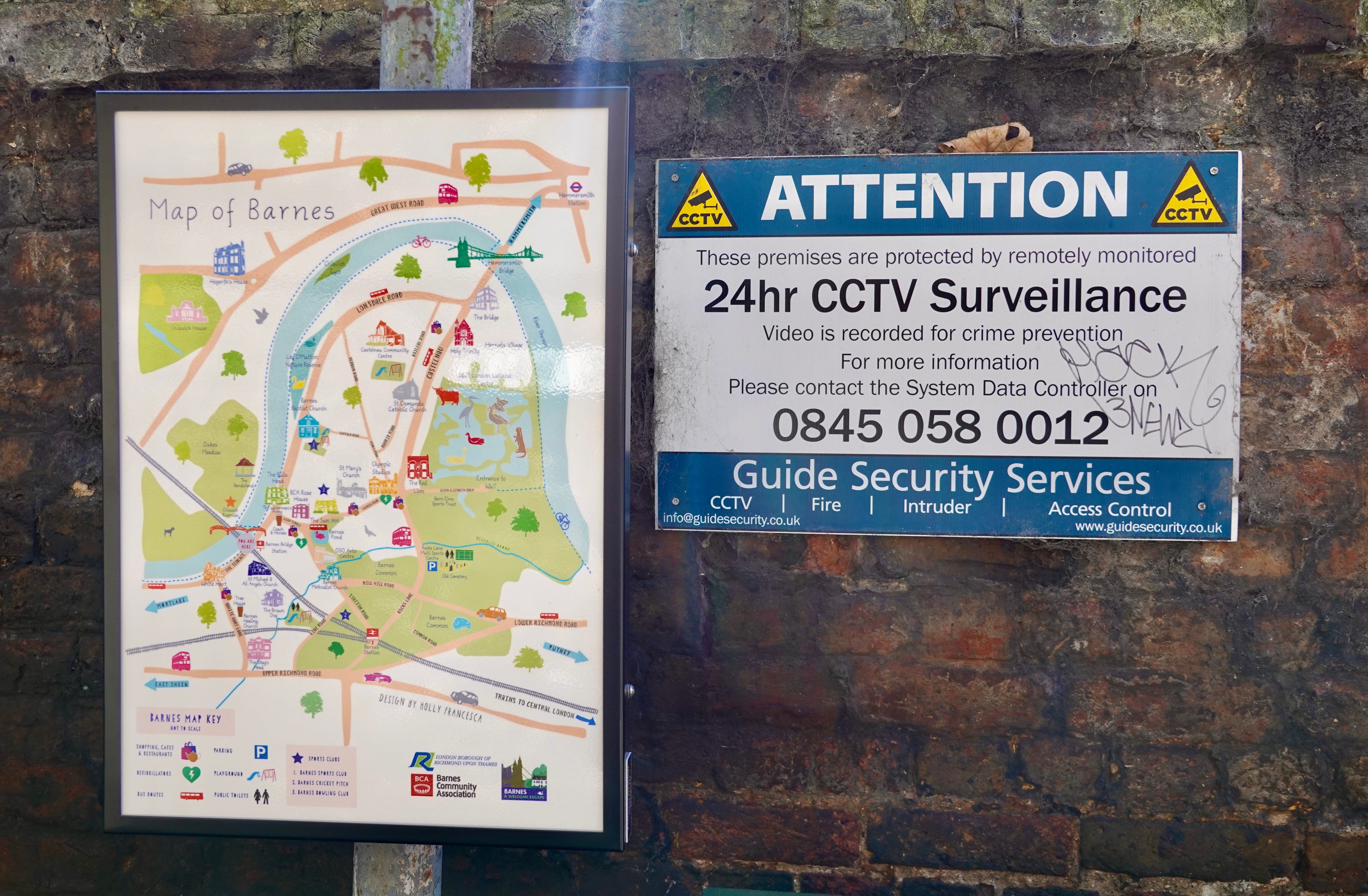
Barnes Community Association wanted to promote the the Barnesy-ness of this area. A good thing. But one of the maps is positioned next to this security sign at Barnes Bridge railway station. Looking lovely whilst big brother watches over?
The map is good, though.
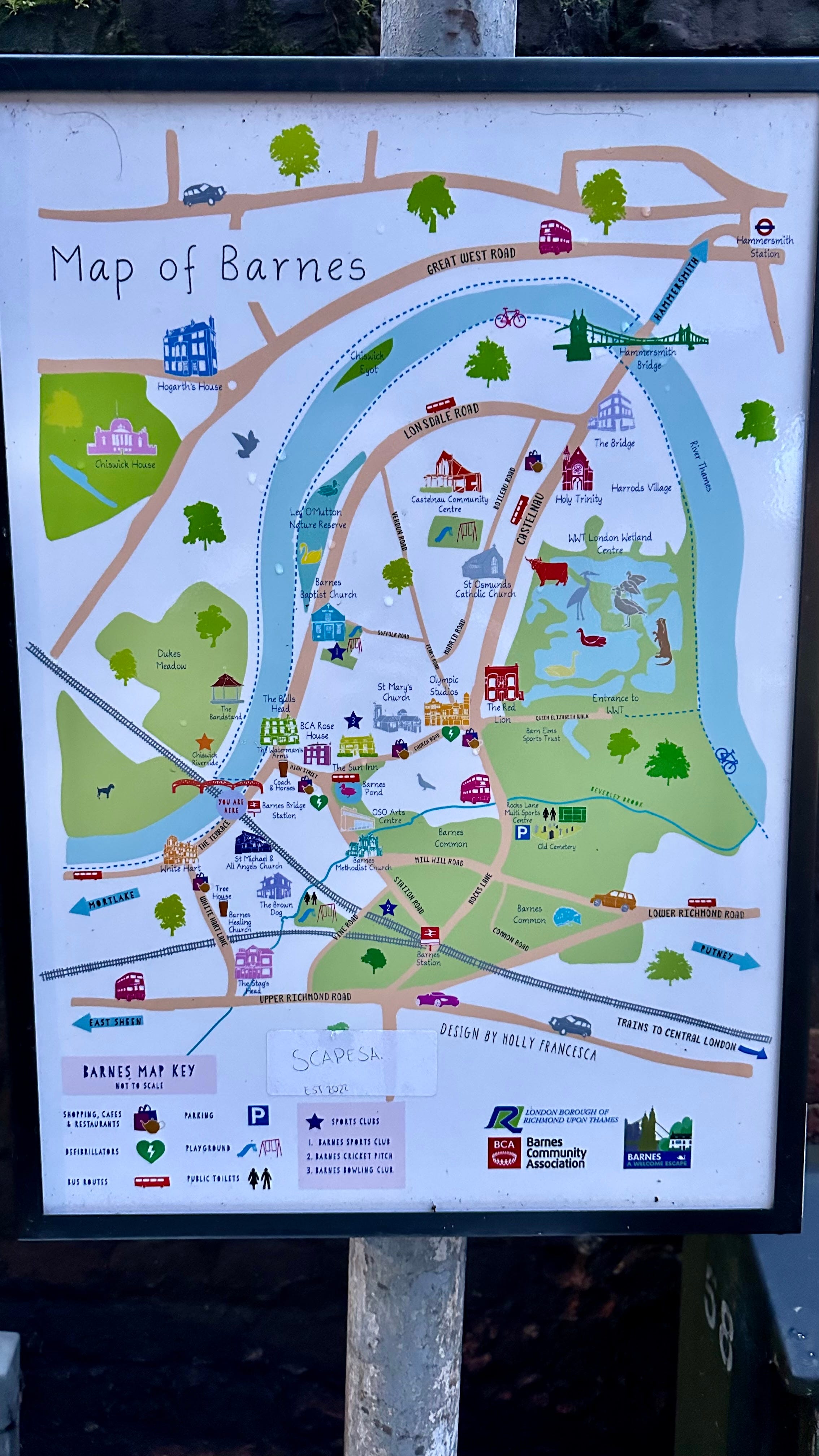
I call it the Charles De Gaulle map. Look closely. Now you won’t be able to unsee that.
But .. Look at how the roads dominate the map. There is so much going on in Barnes but this is a road-first view. Lonsdale, Castlenau and Great West Roads. These are epic.
One other thing.
This is not quite the area I want to explore in this blog. I returned to this map whilst trying to work out what is the target geographic area for my thinking? I thought at first this might work. Then I realised it was missing two critical factors.
The Boat Race bridges are a thing. Chiswick, Hammersmith and Putney bridge have a relationship in terms of traffic management. Indeed Fleur Anderson, Putney MP (Labour) has been strident in blaming the closure of Hammersmith Bridge on worsening traffic in her constituency including raising it in Parliament. I am minded to include all three bridges in my target area.
Also, for similar reasons I need to include a major road in my target area. Most likely the South Circular. Otherwise if I adopt the De Gaulle version of Barnes, I am looking at life in a bubble, happy in its traffic-reduced future but with adjoining areas struggling. That would be an easier blog to write. But it is not fair.
The search goes on for a better map to help define this blog.